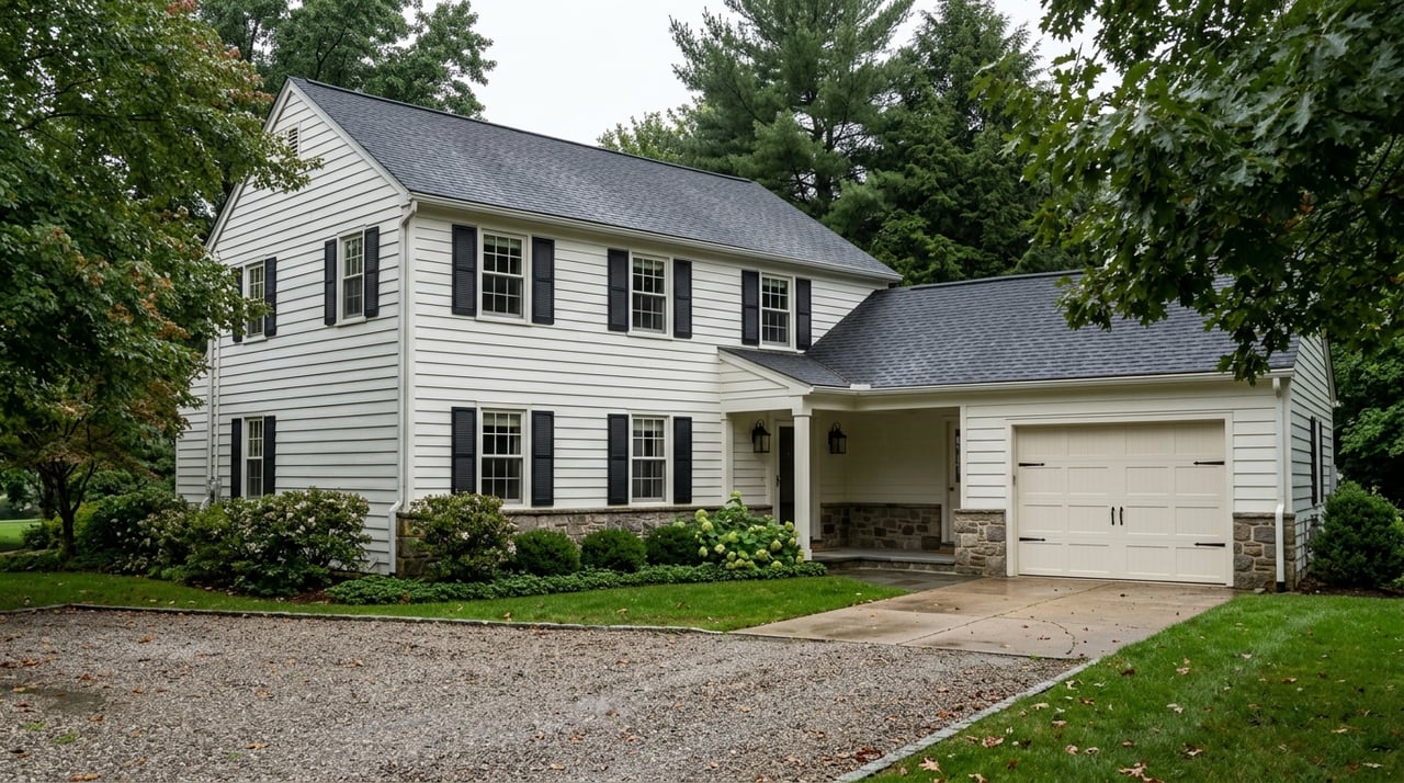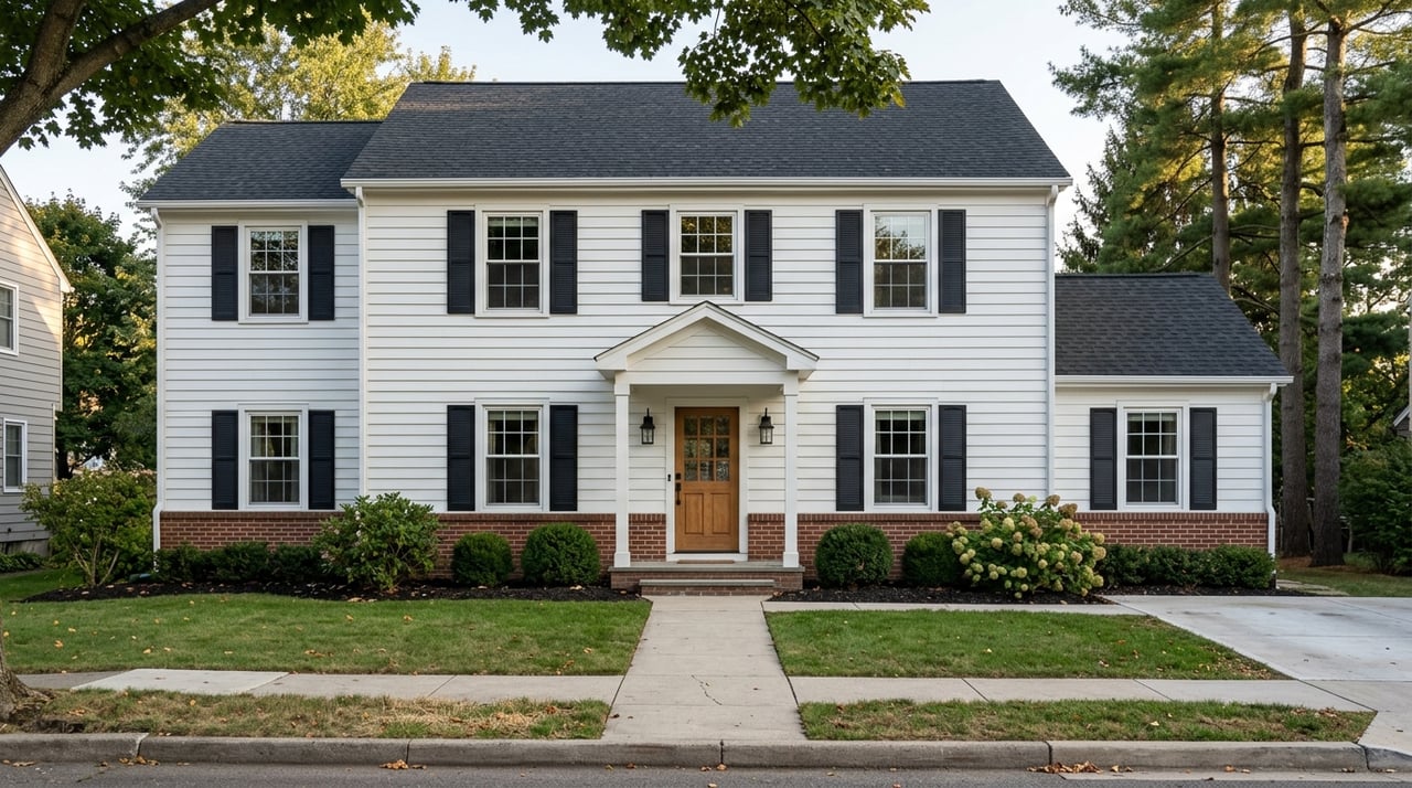
Buying land in Effort and the western Poconos can look simple at first glance. You see acreage, trees, privacy, and a price that seems promising. But with vacant land, what matters most is not just how many acres you buy, but whether the parcel actually works for your plans. This guide will help you understand the local rules, site issues, and research steps that matter most before you move forward. Let’s dive in.
Why land in Effort needs careful review
Effort is a rural village in Chestnuthill Township in Monroe County, located along Route 115 and about 2.5 miles northwest of Brodheadsville. The area includes wooded and hilly terrain, which can make land attractive for privacy and custom-home plans. It can also create challenges that are not obvious from listing photos.
That is why land shopping here should start with parcel research, not just acreage or price per acre. In Effort, township rules and county mapping tools play a big role in whether a lot is practical to build on. A good land purchase is really a feasibility purchase.
Start with the parcel map
Before you get attached to a lot, pull it up on Monroe County GIS and compare it with the Chestnuthill Township zoning map. Those tools help you confirm where the parcel sits, what roads touch it, and whether obvious features like streams or floodplain areas may affect it.
The township zoning map is especially useful because it tracks tax parcels, road centerlines, streams, floodplains, lakes, ponds, utility lines, and municipal boundaries. That makes it a strong first screening step. It helps you ask better questions before you spend money on deeper due diligence.
Check zoning before you assume buildability
Not every vacant parcel in Effort is automatically ready for a new home. Chestnuthill Township’s zoning ordinance controls the use, intensity, size, and location of buildings and structures. The township includes several zoning districts, and each one can affect how a lot may be used.
For buyers looking at residential land, the zoning district matters right away. A parcel may be in CR, RR, R-1, R-2, R-3, or another district, and each district has different standards. You want to confirm the zoning district and whether your intended use fits before you move ahead.
Minimum lot sizes can vary
In the districts most likely to matter to homebuyers, the minimum lot size can differ quite a bit.
- CR requires 5 acres
- RR and R-1 require 2 acres
- R-S, R-2, and R-3 can have smaller minimums depending on approved central water and sewer availability
There is another important detail in CR, RR, and R-1. Each lot approved after the ordinance was adopted must include 1 contiguous acre of building site, and wetlands do not count toward that requirement. So even if a lot meets the acreage number on paper, the usable building area still needs to work.
Older lots may need extra review
Some older parcels may be nonconforming because they were created before current standards took effect. That does not automatically mean you cannot build, but it does mean you should not assume buildability without checking current township requirements.
This is one of the biggest mistakes land buyers make. They see a legal parcel and assume that means a simple building path. In reality, the current rules still need to be reviewed.
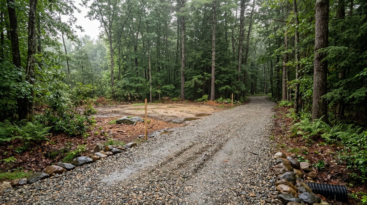
Access can make or break the deal
Road access is one of the first practical items to confirm. Chestnuthill requires each proposed new lot, land development, and principal building to directly abut a public street, a street proposed for dedication to the township, or a private street that meets subdivision and land development standards.
If the lot only abuts a private street and does not have public-street access, the township can require improvements to the private street segment that serves the property. That can affect both timeline and cost. It is much better to learn this early than after you already own the parcel.
Route 115 frontage may need PennDOT approval
If the driveway or access point connects to a state highway, PennDOT requires a Highway Occupancy Permit. This can matter for Effort-area parcels along Route 115 or other state roads.
That does not mean the parcel cannot work. It simply means driveway planning may need another layer of review. For buyers, this is another reminder that land should be evaluated as a process, not just a listing.
Wells and septic are often the biggest utility questions
In many Effort land purchases, water and sewage are the main feasibility issues. If a parcel is not served by central systems, you will likely need to evaluate private well and on-lot septic options.
Pennsylvania does not regulate private homeowner wells, so the property owner is responsible for making sure the water is safe. State guidance recommends annual testing for total coliform bacteria, nitrates, total dissolved solids, and pH using Pennsylvania-accredited laboratories.
Septic approval is local
On-lot septic is handled locally under Act 537. The key takeaway for buyers is simple: the lot should be investigated before purchase to confirm whether it qualifies for a permit from the local certified Sewage Enforcement Officer.
The SEO reviews soil and percolation conditions, then approves or denies the permit. This step is essential because a parcel that looks perfect on the surface may still have limitations below ground.
Chestnuthill has specific septic layout rules
Chestnuthill requires more than a basic septic conversation. For any subdivision or building permit for a new principal building served by a well or on-lot sewage disposal, the plan must show:
- A proposed well location
- A primary sewage disposal area
- An alternate sewage disposal area
- Compliance with PADEP isolation distances
The ordinance also states that each lot, including lots of 10 acres or more, must include both a primary and a reserve on-site sewage disposal location unless an exception applies. Large acreage alone does not remove that requirement.
Do not assume central utilities are available
If a parcel appears to be near central water or central sewage, do not assume connection is automatic. Chestnuthill requires proof that the system meets state rules and that there is a long-term operation, maintenance, and capacity plan in place.
In other words, nearby infrastructure is not the same thing as approved service. That distinction can save you from a costly misunderstanding.
Watch for slopes, streams, and floodplain issues
The western Poconos can offer beautiful topography, but that same terrain can limit buildability. In Chestnuthill, steep slopes, creek setbacks, floodplain areas, and conservation design standards can all affect how a tract is developed.
This is where a parcel can look great online but become much harder to use in real life. The shape of the lot, the placement of the building area, and the driveway route all matter.
Steep slopes matter more than many buyers expect
Chestnuthill has clear standards for natural slopes. Slopes over 15 percent cannot simply be regraded to get around the ordinance, and slopes over 25 percent do not count toward minimum lot area.
For a single-family dwelling lot, there must be at least 5,000 square feet of proposed building area. If that building area averages more than 15 percent and less than 25 percent slope, the minimum lot area is 2 acres. If it averages 25 percent or greater, the minimum lot area rises to 5 acres.
Driveway design also matters. The ordinance limits driveway or private-accessway grade to 15 percent for single-family dwellings. On hilly land, that can become a major design factor.
Creek setbacks can reduce usable space
Creeks are another issue to review early. Chestnuthill prohibits new or expanded buildings and parking areas within 100 feet of the centerline of Pohopoco Creek and McMichael Creek, and within 75 feet of the centerline of other perennial creeks.
If a driveway must cross a perennial creek, the crossing should be as close to perpendicular as practical. On some lots, these setback rules can shrink the area that is truly usable for a home site.
Conservation rules may affect layout
Chestnuthill’s Conservation Subdivision Design Overlay District applies in CR, RR, R-1, R-2, and R-3. The purpose is to preserve open land and place development on the most suitable parts of a tract.
For buyers of larger parcels, this can affect long-term planning and how a property might be divided or designed. The township also uses standards intended to conserve woodlands, streams, wetlands, floodplains, steep slopes, and rural character while reducing road length, utility runs, and paving where practical.
There is also a transferable development rights program in the ordinance. That tends to matter more with larger tracts and long-term density planning, but it is still useful context if you are thinking beyond a simple one-home purchase.
A smart due diligence checklist
If you are thinking about buying land in Effort or nearby western Pocono areas, use a step-by-step approach before you finalize your offer.
Start with these questions
- What zoning district is the parcel in?
- Is your intended use permitted there?
- Does the lot meet current minimum area and building site rules?
- Does it have proper road frontage or legal access?
- Will a driveway need PennDOT review?
- Is there likely well and septic feasibility?
- Are there steep slopes, creeks, wetlands, or floodplain constraints?
- Could conservation design standards affect the tract?
A practical local workflow
A strong local review process usually looks like this:
- Locate the parcel on Monroe County GIS and the township zoning map.
- Confirm the zoning district and intended use.
- Verify street frontage and driveway access.
- Check whether a PennDOT Highway Occupancy Permit may be needed.
- Confirm septic and well feasibility with the local SEO.
- Screen for steep slopes, creek setbacks, floodplain areas, and overlay issues.
- Only then move toward final offer terms or building plans.
This kind of process helps you separate promising land from land that only looks promising online.
Why local guidance matters
Land deals in Effort are rarely one-size-fits-all. Two parcels with similar acreage can have very different building potential based on access, slope, zoning, and sewage approval.
That is why local, practical guidance matters so much in the western Poconos. You want someone who understands how to screen a parcel early, identify the right township questions, and help you move with confidence instead of guesswork.
If you are weighing land options in Effort or nearby areas, John Keely can help you evaluate parcels with a clear, local-first approach so you can focus on land that truly fits your goals.
FAQs
What makes land in Effort different from buying a house?
- With land in Effort, you need to verify zoning, access, well and septic feasibility, slopes, and setbacks before assuming the parcel is ready for your plans.
What zoning issues should land buyers check in Chestnuthill Township?
- Land buyers in Chestnuthill Township should confirm the parcel’s zoning district, whether a home is permitted, and whether the lot meets current minimum size and building site requirements.
What septic step should buyers take before purchasing land in Effort?
- Buyers should investigate whether the lot can qualify for an on-lot sewage permit through the local certified Sewage Enforcement Officer before closing.
What access issue matters for land along Route 115 in Effort?
- If the driveway connects to a state highway such as Route 115, PennDOT may require a Highway Occupancy Permit.
What site conditions can limit buildability on western Pocono land?
- Common limits include steep slopes, creek setbacks, floodplain areas, wetlands, and conservation design standards that reduce the usable building area.
What is the best first step when researching vacant land in Effort?
- A strong first step is to pull the parcel on Monroe County GIS and compare it with the Chestnuthill Township zoning map before making assumptions based on listing details alone.